Geodetic Institute In 1907 – at age 19 – Inge Lehmann enrols in the Univ
In 1907 – at age 19 – Inge Lehmann enrols in the University of Copenhagen, where she begins her studies in mathematics, which will take 13 years to complete. But then her career takes off and it soon becomes apparent that she has an extraordinary sense for earthquakes.

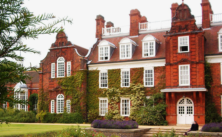
Several years into her studies, in 1910, young Inge Lehmann moves to England, where she begins to study at the prestigious University of Cambridge. Here she experiences an entirely new culture compared to the one she is used to from her schooldays with Hanna Adler.
International education
At Cambridge, the male and female students are not equal. There are many more restrictions for the young women than there are for the young men and the women do not have the same rights as the men.
They even keep an eye on how the young women behave themselves - both when they are at the university and when they have spare time. Inge Lehmann still enjoys her one-year stay at Cambridge.
The following year, Lehmann returns to Copenhagen, but the trip has taken a toll on her health and she has to take a break from her studies. She calls it ‘overexertion’ and it is probably what we would call stress today.
For more than four years, she works for an actuary, where she learns to make calculations – an ability that serves her well later in life.
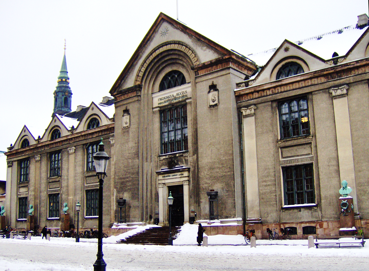
In 1918, she resumes her studies at the University of Copenhagen and she completes her education with a Masters in mathematics and physics in 1920 – after more than a decade with both illness and long periods in the classroom.
In the fall of 1922, she once again turned her sights abroad towards a new study trip, this time in Hamburg in Germany. Here she works with Wilhelm Blaschke, a professor of mathematics.
The following year, in 1923, she heads back to Copenhagen again where she gets a job as an assistant at the Laboratory of Actuarial Mathematics at the University of Copenhagen.
Assistant at Den Danske Gradmålingen (Institute for the Measurement of Degrees)
In 1925, at the age of 37, Inge Lehmann is appointed assistant to Niels E. Nørlund, who is the director of the 'Gradmålingen', which is a geodetic institute responsible for establishing seismological stations in Denmark and Greenland.
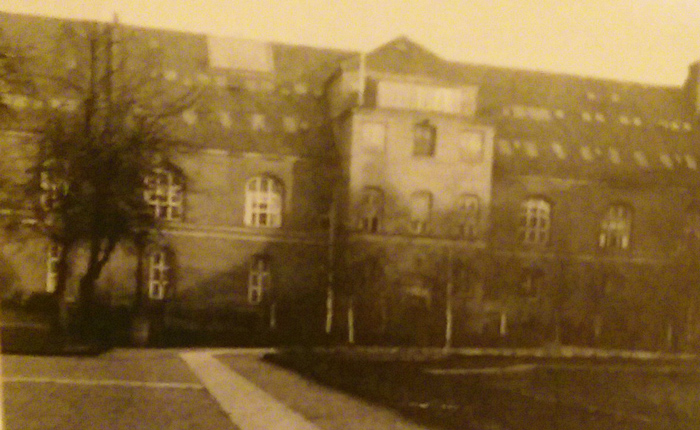
The following year, she helps install one of the world’s most accurate seismographs in the Vestervold ramparts in Copenhagen. It will be part of a worldwide network of seismographic stations that will register vibrations in the Earth that, for example, could come from earthquakes.
In Denmark, they choose to bet on high quality seismographs, partly to catch up with the rest of Europe and partly because Den Danske Gradmåling wants to compete with the Niels Bohr Institute to be taken seriously as a research institute.
Conversations with Europe’s best seismologists
Inge Lehmann’s work at Gradmålingen opens her eyes to the idea that you can use seismological measurements of earthquakes, explosions and other vibrations in the Earth to gather information about the Earth’s interior.
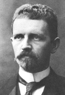
This piques her interest and she begins to seek out some of the world’s leading seismologists, including Beno Gutenberg who becomes her mentor.
Inge Lehmann travels around Europe and visits some of the continents most important seismologists and geophysicists and “everywhere I was received very kindly and got a lot of information,” she wrote later.
She spends an entire month with Gutenberg in Darmstadt in Germany and from that point on he also became her good friend: " With great kindness, he guided my studies excellently," she says of him.

In 1927, Inge participates in a meeting in Prague for The International Geodetic and Geophysical Union – even though "it was not customary for a person in my position,” she recalls many years later as a 99-year-old in 1987 in Seismology in the Days of Old.
Among the participants at the meeting are Beno Gutenberg and the influential seismologist Harold Jeffreys and one of the things that are being discussed a great deal is the measurement of the time it takes for seismic waves to pass through the Earth’s interior.
Inge Lehmann has a rewarding and long-lasting friendship with both of the famous researchers and they take up this same discussion many times.
State geodesist with special talents
Inge Lehmann has no experience with seismology when she finds employment with Gradmålingen in 1925, but she quickly gets the hang of it and it also soon becomes apparent that she has an extraordinary sense for earthquakes...
In 1928, Inge Lehmann receives her Masters in geodesy and the same year – highly unusual for a woman at the time – she is appointed state geodesist at Gradmålingen, which is newly christened the ‘Geodetic Institute’ the same year.
She holds the position of state geodesist until she retires in 1953.
As a state geodesist, it is Inge Lehmann’s responsibility to make sure that stations in Copenhagen, Ivigtut and Scoresundby in Greenland are functioning and that the instruments in Copenhagen are properly adjusted – but the station in Scoresundby really causes problems because no one really wants to live in the city where the only transportation option is the boat that arrives once a year.
Doing it herself
Inge Lehmann is also responsible for interpreting and publishing the seismograms coming from the stations and even though no one really expects research from her, she does it anyway – in her spare time.
At times, she has assistants, but most often there is no one – not even for the office work – so she has to manage most of it herself.
Her special talents soon make her a highly respected figure among other scientists – she is elected to boards and corresponds with the best researchers in the world.
At this point, Inge Lehmann was already known as a somewhat unusual seismologist and her method was described as particularly visual, creative and intuitive, as opposed to many of her male colleagues who increasingly took advantage of ‘ordinary computing’.
There is no doubt that if Inge Lehmann had not mastered the difficult mathematics and physics, she would have never achieved the results she did.
Seismograph
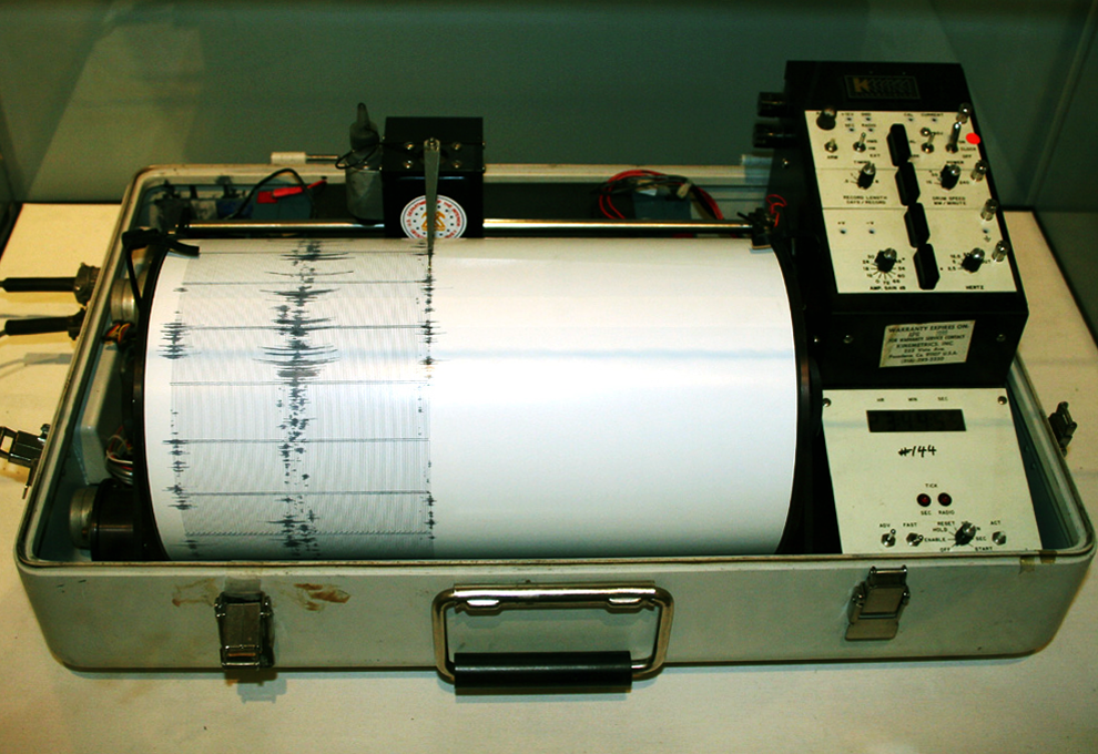
A 'seismograph' or a 'seismometer' is an instrument for measuring vibrations in the earth that could, for example, be caused by earthquakes or explosions.
The result is a so-called 'seismogram', that shows a graph of the vibrations. Inge Lehmann was an expert in reading seismograms.
Seen above is a so-called ‘kinematic’ seismograph, which was previously used in the United States and seen below is a modern digital seismogram showing an earthquake in 2004.

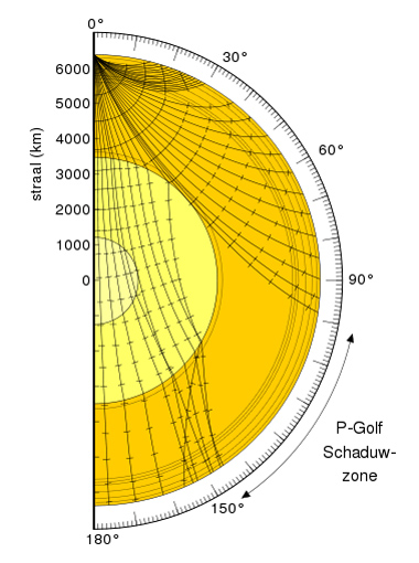
So-called 'seismic waves’ are pressure waves and shear waves that shear waves that spread through the Earth or other bodies.
P-waves are longitudinal waves and S-waves are transverse. S-waves travel at a speed that is about 60 percent that of P-waves.
P-waves are those that come first – the ‘primary’. Then the S-waves arrive – the ‘secondary’. The last to arrive are the I-waves, which have a long wavelength.
Inge Lehmann was the first to describe the Earth’s solid inner core using measurements and analyses of what we know today as PKP-waves.
Seen above is an illustration of the path of the ways through the Earth, where you can also see the so-called 'shadow zone', which Denmark is often placed in and which gave Inge Lehmann the opportunity to make unique observations.
Geodesy
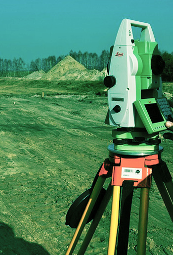
Geodesy is the science of the Earth’s shape and its gravitational field.
The force of gravity across the surface of the Earth varies due to subsurface diversity – the greater the mass, the greater the gravity. But gravity is very complicated to calculate. You have to combine the position with gravitational force and its direction (gravity on a mountainside, for example, does not point straight down, but slants inwards towards the mountain’s mass) and these measurements have to be combined to obtain an accurate measurement of the gravity in an area.
Before, you had to wander around in rough terrain and make scattered point measurements. You went around from place to place with measuring equipment and made measurements of astronomical positions and measurements of gravity at the location.
Computer models were later developed that combine measurements from satellites and data on Earth to map the gravitational field and in March 2009, the European Space Agency ESA launched a new satellite, GOCE, to map the entire Earth’s gravitational field.
From the Earth’s gravitational field you can answer questions in climate research and it is important in the exploration of oil and other resources in the subsurface.
See video of the Earth’s gravitational field
Why did she become a seismologist?
Many have wondered why Inge Lehmann’s decision to go into seismology as a field of work?
Some think that Hanna Adler, who was Niels Bohr’s aunt, may have influenced Bohr in connection with her appointment as state geodesist, but a family member denies that this was the case to the author Bjarne Kousholt (Inge Lehmann and the Earth’s Core, 2005).
Actually, Inge Lehmann, at least in her old age, did not like Niels Bohr, because she believes that he prevented her from getting a professorship in geophysics in 1952
A strained relationship
“I certainly don’t think that Niels Bohr had anything to do with her choice of education. Actually, she had a somewhat strained relationship with him, because she believed he stood in the way of her professorship,” he explains.
“She did not think that he appreciated the talents of others very much – rather he was anxious to stand out as the brilliant genius without any competition. And as for Niels Nørlund, I just cannot image that he influenced her decision,” says the person to Bjarne Kousholt several years after Inge Lehmann’s death.
Earth’s inner core
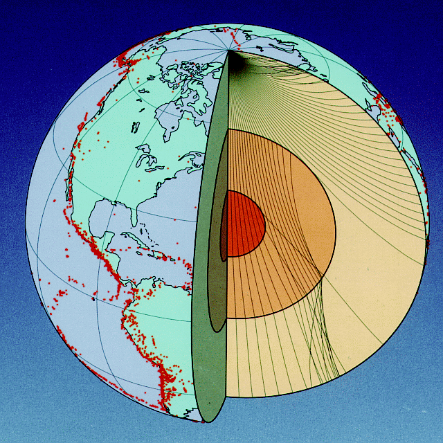 The Earth’s inner core is the innermost part of the Earth and is comprised of a solid sphere with a radius of approximately 1,220 km. It is estimated that the core consists mainly of iron and nickel and it is about the same temperature as the Sun, i.e. 5400 degrees Celsius.
Before Inge Lehmann’s article P', published in 1936 and which proved the existence of a solid inner core, the general opinion among experts was that the interior of the Earth was entirely liquid.
