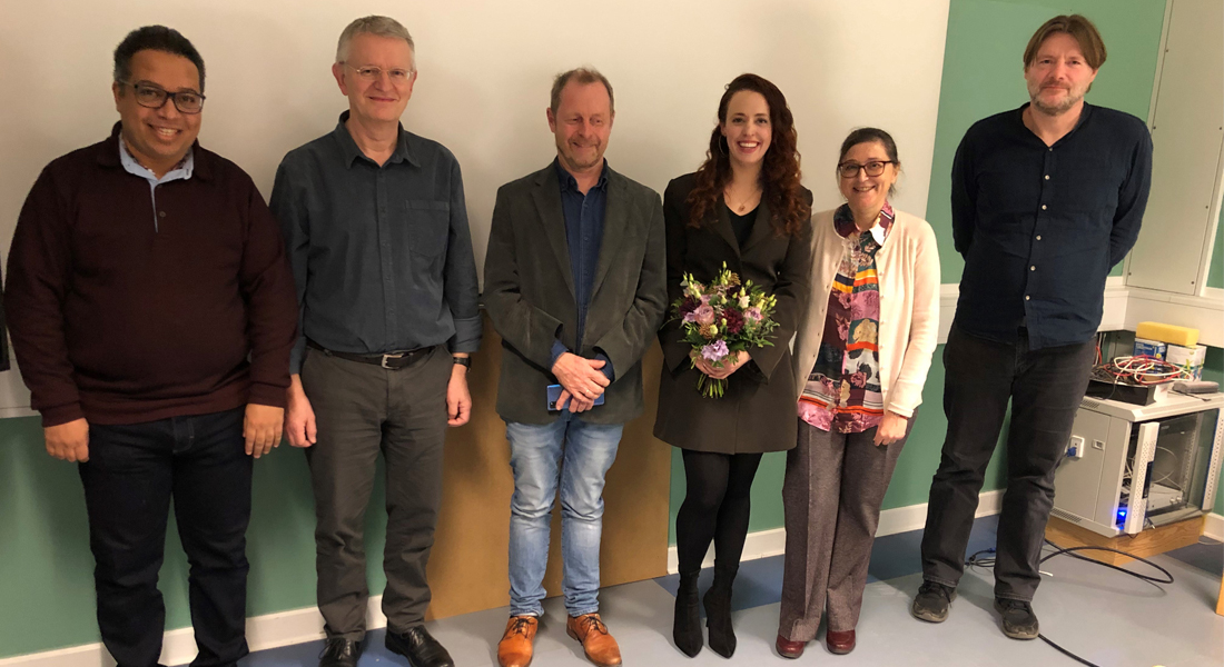
Congratulations to Iris Fernandes
Congratulations to Iris Fernandes at Physics of Ice, Climate and Earth who successfully defended her PhD thesis on 21 December 2021, and obtained the degree of Doctor of Philosophy.

Title: Modeling spatial uncertainty in geophysical imaging
Summary: Geophysical and geospatial imaging is used to provide information about remote areas, locations difficult to access, or areas inaccessible to humans, such as the planet’s interior or other planets. There are several applications of seismic and borehole data aimed at creating subsurface images, providing a basic understanding of the Earth's composition and structure. They have numerous technological applications, such as energy resource exploration, CO2 underground storage, and the location of groundwater deposits. Surface imaging also has various applications, from global intelligence surface analysis to a wide range of geographical studies.
To make better predictions we need to improve our knowledge about the areas of interest. Yet, data acquisition processes also depend on their spatial distributions. Establishing the location where the data were acquired is a data acquisition in itself and essential in geospatial modeling. Every measurement proceeds with associated uncertainties and, in the case where the location is also part of your data set, errors in positioning may, in certain cases, become significant in the total error of the estimated model.
Unfortunately, due to their complexity, errors in these locations are normally not accounted for in the mathematical and numerical formulations. When uncertain physical parameters are simply assumed to be known and fixed, they will corrupt the computed models and introduce hidden biases. This problem challenges our decision makings guided by these models.
To tackle this problem, this work presents a new probabilistic method based on inverse problems formulations where location data is incorporated and considered. The unification of location data and physical data requires a modified mathematical approach, as compared to the current inverse problems literature. With this new tool, we aim to quantify errors and estimate the model’s variability to assess the accuracy and reliability of predictions, as well as to create more accurate and sharper images.
Well-log data acquired during geosteered drilling processes provide detailed information about the subsurface and is often used in association with seismic data. We developed a probabilistic method considering spatial error propagation during the well-log drilling. The results show how the quality of data analysis can be hampered by spatial uncertainties if not considered, and how decision-making can be compromised.
To improve the accuracy of geophysical imaging, surface mapping from known locations can be used as prior information. Analog outcrop studies were used showing that it was possible to improve precision and sharpness and compute the variability of the model’s prediction of subsurface properties. Findings during this investigation showed how shadows on the outcrop imagery interfered and biased the result obtained by the algorithm. Thus, a method for surface mapping using imagery that is significantly hampered and obstructed by shades was developed and tested on Lunar landforms imagery. The technique provides an uncertainty map showing how the lack of information in the shaded areas influences the model’s precision.
This work presents applications of subsurface mapping with well-logs and seismic data, as well as surface mapping of analog outcrop data and Lunar imagery, providing a detailed description of, how spatial uncertainty interferes with physical data acquisition quality. The methods are fully probabilistic and solidly based on inverse problem theory.
Supervisor
Prof. Klaus Mosegaard, Physics of Ice, Climate and Earth, Niels Bohr Institute, University of Copenhagen
Assessment of Committee
Prof. Eigil Kaas, Physics of Ice, Climate and Earth, Niels Bohr Institute, University of Copenhagen
Assoc. Prof. Thomas Mejer Hansen, Department of Geoscience, University of Aarhus
Prof. Wojciech Debski, Department of Theoretical Geophysics, Institute of Geophysics Polish Academy of Sciences
